See more, plan more precisely: satellite data, orthophotos, and 3D in DELTA
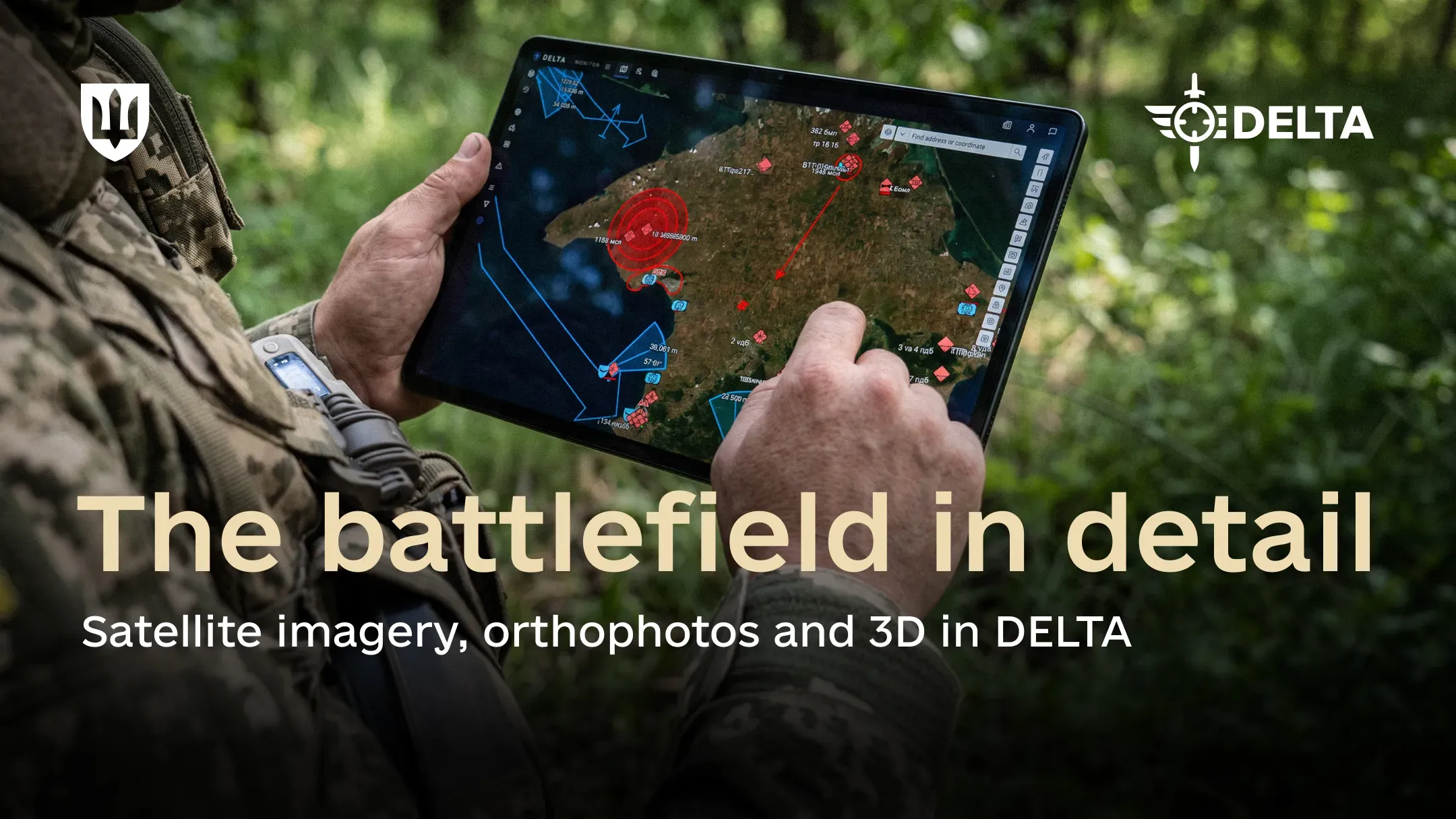
The DELTA combat system brings together satellite imagery, orthophotos, and 3D data in a unified environment, giving military users an up-to-date picture of the terrain when planning operations.
DELTA currently provides access to regularly updated data from several satellite providers. In July 2026 alone, the military added more than 1,700 orthophotos to the system — precise digital photographic images of the terrain standardized to a common coordinate system and scale.
Types of imagery in DELTA
Satellite data provide broad coverage, spanning the entire territory of Ukraine, including the temporarily occupied territories, particularly Crimea, as well as the territory of russia. They help track changes on the ground, identify new objects, and plan operations over long distances.
Orthophotos are created using reconnaissance drones and used where significantly greater detail of a specific area is required.
These images can reveal even minor changes and objects that are difficult to distinguish in satellite imagery.
Together, these data allow the military to analyze the terrain before an operation, identify new targets, assess strike results, and plan movements.
DELTA also notifies military users when new imagery of selected areas becomes available. This allows them to quickly identify changes in their area of interest and incorporate these changes into further planning.
Another data layer consists of 3D terrain models that account for terrain features and object heights. They are already used, for example, to plan routes for unmanned ground vehicles (UGVs), where elevation changes and terrain features are critical.
Different types of imagery in DELTA complement each other
As units add more up-to-date orthophotos and 3D models, the entire ecosystem benefits: adjacent units can work with up-to-date data on the same terrain and incorporate changes into their own planning.
DELTA users have access to detailed guidance on how to create and add orthophotos themselves.
The Ministry of Defence’s next step is to further scale up this effort and increase the amount of up-to-date geospatial data available to the military directly in DELTA.
As was previously reported, the AI assistant in the DELTA combat system is now available to all users. Users can now get answers to common questions directly in the system interface, without searching the documentation or contacting support.