Detection of explosives, including underground threats: Unmanned aerial systems with magnetometers are being deployed for demining in the Mykolaiv region
Ukraine's southern regions rank among the most heavily mined in the country. For effective detection and identification of mines and explosive remnants of war (ERW), mine action teams conducting non-technical surveys employ innovative equipment. Specifically, in the Mykolaiv region, an industrial unmanned aerial system (UAS) with state-of-the-art magnetometer technology is being used.
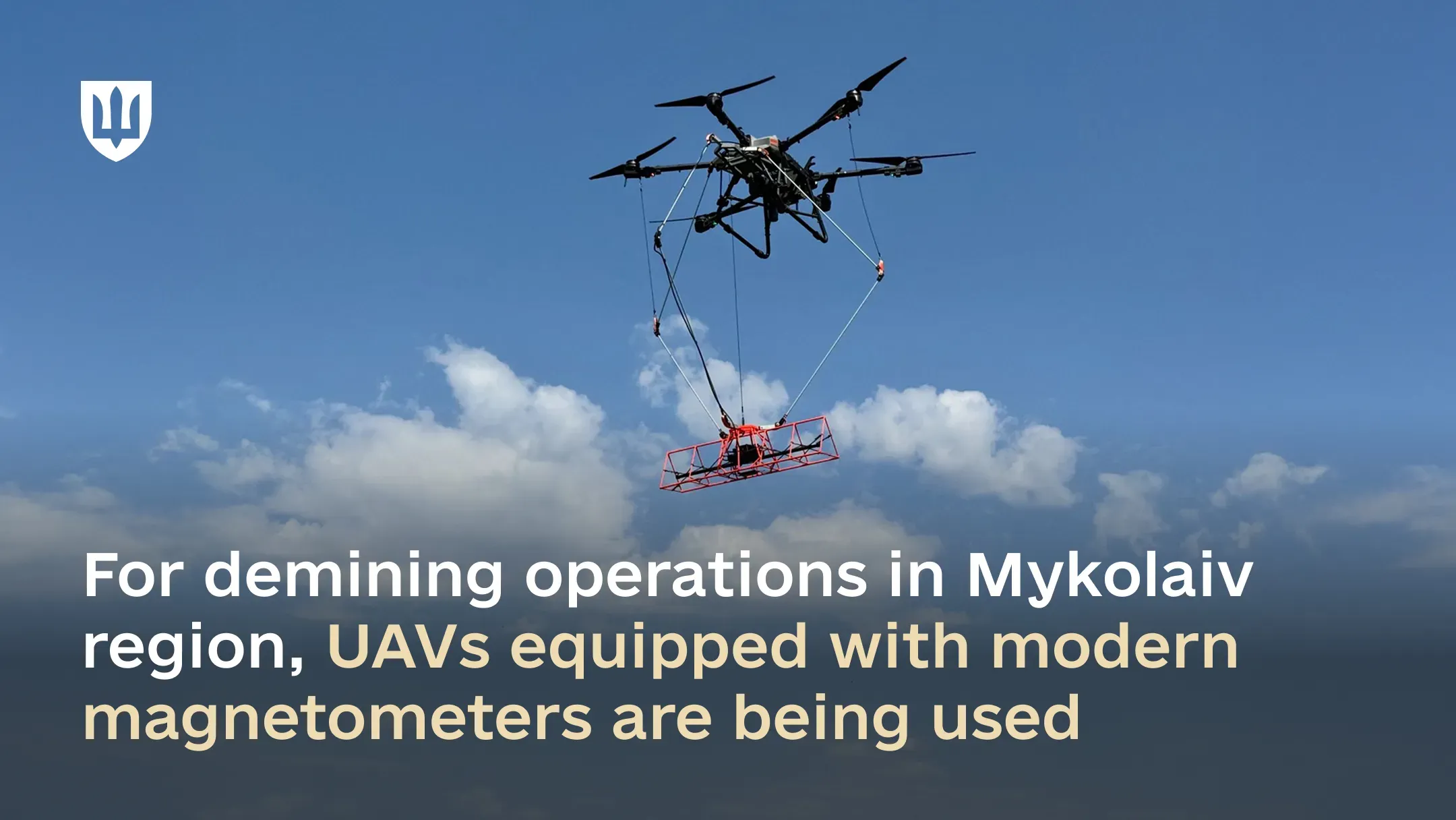
This UAV system is designed for remote detection of mines and explosive hazards during non-technical surveys of de-occupied areas.
“The deployment of this UAV system has significantly improved the quality of non-technical surveys in potentially contaminated areas and enhanced the personnel safety of non-technical survey teams,” stated Volodymyr Manzhos, a representative of the Main Directorate for Mine Action, Civil Protection, and Environmental Safety.
The UAS, carrying a suspended magnetometer, navigates along a designated flight path over the inspected area. Throughout the flight, the device continuously measures Earth's magnetic field across a 2-meter band, with precise geolocation tagging. The system is capable of detecting explosive ordnance both on the surface and buried underground.
Each such UAV system can survey over 10 hectares of terrain per day. After scanning, the collected data is processed using specialized software, generating a map of the surveyed area. This map highlights potential locations of explosive hazards. In subsequent stages, mine action operators utilize these maps, as required, for preparing non-technical survey reports.